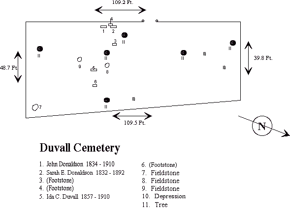
Duvall Cemetery
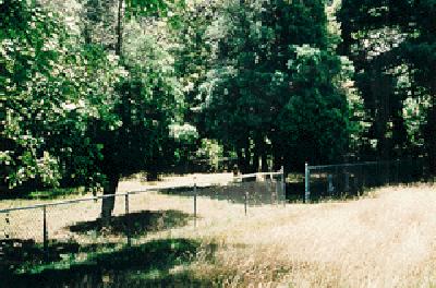
The Duvall family cemetery is visible from Wildlife Loop (formerly Trainfire Rd.) on the east side of the Loop just north of Duvall Bridge Rd. A huge evergreen tree stands inside the fence and the site seems to be on a natural ridge overlooking the road. On the 1922 Ft. Meade map the road lies much closer to the cemetery than the current paved Loop. There are only three graves marked with engraved stones here plus at least three fieldstone markers. The size of the enclosure indicates again that many stones are missing. Other than owning the mill nearby that was later sold to L.P. Griffith we have little information on the family.
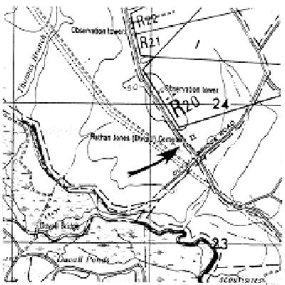
Detail of 1976 Ft. Meade map:
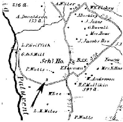
Detail of 1878 Hopkins map:
CEMETERY NO. 14 - DUVALL CEMETERY
Located on Trainfire Rd. (Old)Range 14D Impact Area
1976 Ft. Meade Map Coords: 46,24
LAT/LON: 39o03'06" x 76o46'59"
Number of Graves - 3
| NAME | BORN | DIED | ADDITIONAL NOTES |
|
Duvall, Ida C. |
February 3, 1857 |
December 7, 1910 |
|
|
Donaldson, John |
August 6, 1834 |
January 22, 1910 |
|
|
Donaldson, Sarah E. |
April 25, 1832 |
June 10, 1892 |
Also called the Nathan Jones Cemetery
Epitaphs of the Duvall Family Cemetery
|
JOHN DONALDSON |
SARAH E. DONALDSON |
(Footstone to Sarah E. Donaldson.) |
(Footstone to John Donaldson but it was moved some time ago |
Born Feb. 3, 1857 "The battle's fought, the crown |
|
(Footstone to Ida C. Duvall.) |
Unmarked Fieldstone. |
Unmarked Fieldstone. |
Unmarked Fieldstone. |
Locations marked as Depressions, #10 on the illustration, are simply depressions in the ground that may indicate a grave but no stone is present. Capitalizations appear here as they do on the actual stones.